District Information
History of the Neighborhood
District Profile
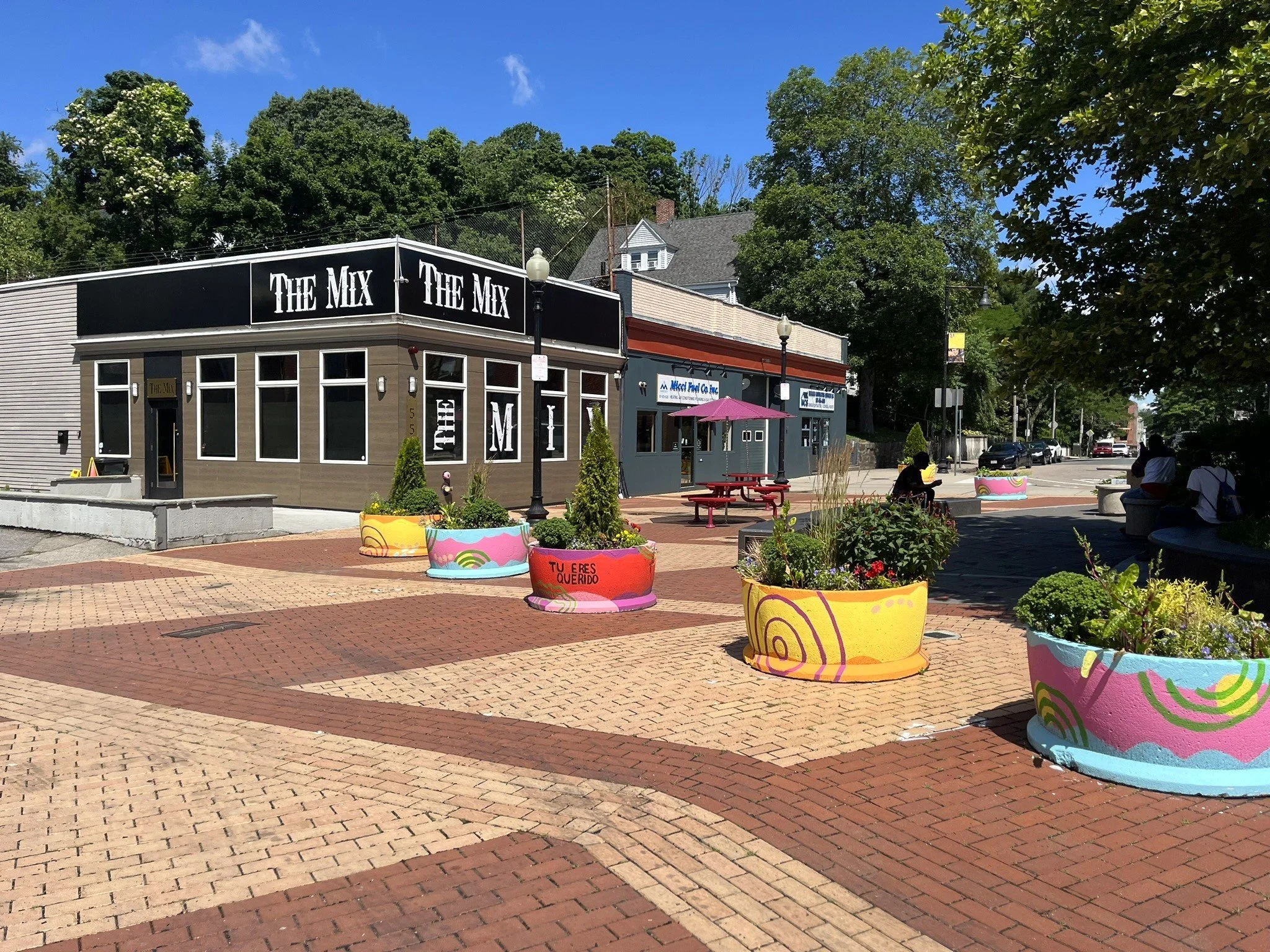
Located in the Dorchester neighborhood of Boston, the Greater Ashmont Main Street district is a great place to shop, dine, and locate a business. The combination of easy access, historic and modern architecture, and supportive residents add up to a unique mixed-use, pedestrian friendly, neighborhood business experience.
The commercial district includes more than 120 businesses and serves more than 30,000 residents, workers and commuters. It is close to U.S. Route 93 and is served by two MBTA subway stations, a historic trolley, and many bus routes used by more than 17,000 riders each day.
In the last few years, the area has attracted massive reinvestment totaling more than $125 million and two new destination restaurants.
Note: these reports are from 2015, and some of the information might be outdated now.
Dorchester Avenue, the nearly straight line that runs from Lower Mills to the bridge over Fort Point Channel, was created as a turnpike by the Dorchester Turnpike Corporation, created by an act of the Massachusetts legislature in 1805. It became a free road in 1854 that was used in the late 19th and early 20th centuries for streetcar traffic, first horse cars and later electric trolley cars. Centre Street is the descendant of an early Indian trail; Ashmont Street was introduced in 1849, and Melville Avenue in 1869.
The real impetus for growth in the area at the south of the district was the introduction of the Shawmut Branch Railroad in 1872. The area near Ashmont grew from the activity at the train station and the construction of Jacques and Griffin’s Market (now O’Brien’s) in 1884. The nearby residential neighborhoods began to grow, and the Square grew with the construction of The Hotel Argyle (1882-92), the Ashmont Block (1892), All Saints Church (1892-94), Peabody Square Park (1893), the Fire House (1895), and the Peabody apartment building (1895-96).
The northern stretch of the district, from Welles Avenue to Melville Avenue, was influenced mostly by institutional development during the second half of the 19th century and the beginning of the 20th. The Industrial School for Girls opened their building in 1859; the second high school soon followed in the late 1870s; Christ Church Unitarian opened about 1890; and St. Mark’s Parish, Roman Catholic, was set off from St. Gregory’s in 1905. St. Mark’s first occupied a wooden building, but by 1914 Charles Brigham was commissioned to design a brick church building.
From Mercier Avenue at the south to Melville Avenue at the north, as the residential population grew by leaps and bounds from the 1870s to the 1920s, the commercial district along the sides of Dorchester avenue added small commercial buildings as larger tracts of land were broken up. Livery stables and greenhouses gave way to stores, offices and service businesses in one-story buildings or in small mixed-use properties.
When Barbara Bean, Father Dan Finn and Andrea Sheppard Lomba lead the charge to establish a Main Street district to cover the area from the southern boundary of the Field’s Corner district to Mercier Avenue, the group recognized the nearly continuous commercial presence along Dorchester Avenue which laid the foundations for what would become Greater Ashmont Main Street.
Business Mix and Parcel Study
During the Summer of 2016, Arjun Sarma, an urban planning student at the Harvard Graduate School of Design, conducted an in depth study of Greater Ashmont Main Street’s business mix with the aim of supporting development that responded to existing community needs and followed the patter of other successful urban cores in accordance with national Main Streets standards. The 2016 Business Mix and Parcel Study helps guide the district toward a healthy business mix that will support community needs on the basis of reliable demographic and parcel study and comparative data analysis. Download the full Business Mix and Parcel Study here.
Imagine Boston 2030
Imagine Boston 2030 sets a framework to achieve Boston’s goals of encouraging continued economic growth, becoming more affordable and equitable, and preparing for climate change. Imagine Boston will enhance neighborhoods, encourage mixed-use job centers, support strategic job and housing growth, create a waterfront that sustains future generations, and concentrate investments that expand opportunity in historically underserved areas to achieve these goals. The plan incorporates input from more than 12,000 Boston voices and looks forward to the citywide plan release in 2017, Imagine Boston continues to invite dialogue and feedback on our initiatives and the action areas that will help us plan for our future. You can read the plan here.
Development Proposals & Projects
Greater Ashmont Main Street’s mission is to further develop the district as a vibrant and resilient community in which all may find joy and a sense of belonging. The information here is an informational resource for district residents and business owners, not an indication of our position on any of these projects.
Current Projects:
1664 Dorchester Ave
Proposed Projects:
Completed Projects:
2049 Dorchester Ave (Harmon Apartments)
1971-1977 Dorchester Ave (Treadmark Building)
1916 Dorchester Ave (Carruth Building)

